
Research checked: 13 October 2026 | RoamDecide Editorial Team
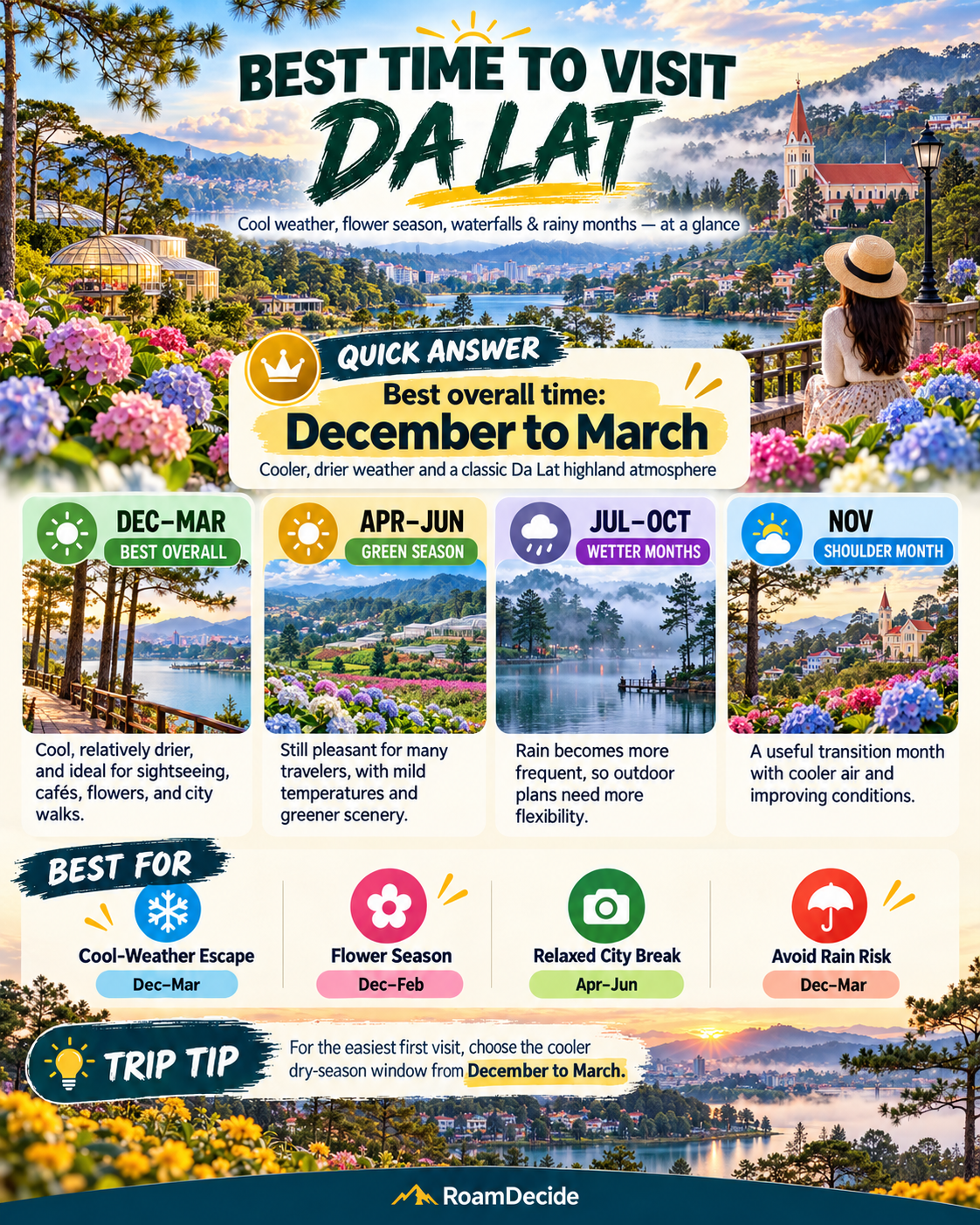
Quick answer: when should you go?
December to March is the best starting window for a first trip to Da Lat if your priorities are outdoor sightseeing, walking and lower rainfall. January and February are particularly dry in the long-term rainfall record. November and April are transition months, not guaranteed dry-season dates. If you want green hills and fuller waterfalls and can rearrange your itinerary around rain, May to August can still work. September and October demand the most flexibility, especially for mountain-road journeys and exposed outdoor activities.
This is a decision-based recommendation, not a prediction for 2027. Da Lat’s weather is shaped by its highland setting, and conditions can differ between the central city, more exposed hills and mountain passes. There is no single best month for photography, flowers, waterfalls, motorbiking and café-focused travel.
Why official seasons can sound different: The Vietnam National Authority of Tourism describes December–March as the dry season and April–November as the rainy season. Broader Vietnam-wide advice sometimes gives overlapping dates. The Da Lat station data in QCVN 02:2022/BXD show a marked increase in rain from March to April and improving conditions from October into November and December. We treat April and November as transition periods rather than pretending there is a sharp seasonal switch.
Place-name note: Since 1 July 2025, the former city-level Da Lat administrative unit has been reorganized into five wards: Xuan Huong–Da Lat, Cam Ly–Da Lat, Lam Vien–Da Lat, Xuan Truong–Da Lat and Lang Biang–Da Lat. They are within the expanded Lam Dong Province, which also includes the former Dak Nong and Binh Thuan provinces. Travelers still use “Da Lat” as the destination name. When booking, compare the actual hotel map pin and ward address.
Official monthly climate data: rainfall, rainy days and temperature
Vietnam’s issued national construction climate standard QCVN 02:2022/BXD, station 134. Da Lat, provides the following historical monthly figures in Table A.25 (rainfall), Table A.28 (rainy days), and Table A.2 (average air temperature). The rainfall and rainy-day figures refer to the weather station, not a hillside lodge, valley, pass or a 2027 forecast.
| Month | Average rain (mm) | Average rainy days | Average temperature (°C) |
|---|---|---|---|
| January | 9.1 | 2.2 | 15.9 |
| February | 20.5 | 2.5 | 16.9 |
| March | 64.1 | 5.8 | 18.1 |
| April | 170.3 | 12.8 | 19.0 |
| May | 212.3 | 20.5 | 19.5 |
| June | 203.5 | 21.2 | 19.2 |
| July | 232.7 | 23.8 | 18.8 |
| August | 238.3 | 23.1 | 18.6 |
| September | 283.4 | 24.1 | 18.5 |
| October | 244.7 | 20.0 | 18.2 |
| November | 93.5 | 11.5 | 17.5 |
| December | 36.2 | 5.9 | 16.4 |
How to interpret the annual totals: QCVN prints annual figures of 1,814.9 mm rain, 176.8 rainy days, and 18.0°C average temperature. Adding the 12 published monthly entries gives 1,808.6 mm and 173.4 rainy days, respectively. The differences are 6.3 mm and 3.4 days. The standard does not explain those differences in these table rows, so we retain its monthly values and report annual-column figures separately, without silently forcing them to match. Other official tourism material gives approximately 1,600 mm annual precipitation and 17.8°C mean temperature, from a source with an unspecified comparison period; the periods are not proven comparable. For choosing travel dates, month-to-month variation is more useful than blending annual figures from different sources.
What the data change: January and February are much drier than the wet-season months, with about 9.1–20.5 mm average rain and 2.2–2.5 rainy days. March (64.1 mm, 5.8 days) is markedly drier than April (170.3 mm, 12.8 days). September has the most rainfall in this station series (283.4 mm), and October also remains wet (244.7 mm). December averages 36.2 mm, but its 16.4°C monthly mean is not a minimum overnight temperature: pack a warm layer.
Source: QCVN 02:2022/BXD, government-hosted PDF, station 134, Tables A.2, A.25 and A.28. The document was issued with Circular 02/2022/TT-BXD; alternative PDF access. The station averages do not guarantee a dry day, clear viewpoint or safe road.
Da Lat month by month: an actual travel decision
| Month | Best fit | Caution / alternative |
|---|---|---|
| January | Walking, city sights, cafés, flower gardens | Cooler mornings; availability around holidays |
| February | First trips, open-air activities | 2027 Tet travel demand and opening-hour changes |
| March | City + countryside sightseeing, walking | Some rain; carry a light layer and rain shell |
| April | Flowers, mixed indoor/outdoor trips | Rain increases markedly; move hiking to suitable windows |
| May | Slower stays and green scenery | Wet afternoons; flexible transport and bookings |
| June | Cafés, food, gardens, green hills | Frequent rainy days, slippery paths |
| July | Green highland escape | High rainy-day frequency; avoid unsafe slope outings |
| August | Long weekend with indoor fallbacks | Crowds on school-holiday dates, wet roads |
| September | Green landscapes with a flexible itinerary | Highest average monthly rain in the QCVN station series |
| October | Cafés, city-based trip, photography when weather permits | Heavy rain exposure; check road, flood and landslide alerts |
| November | Transition-season exploration, possible persimmon interest | Rain persists; bloom/harvest dates not guaranteed |
| December | City walks, gardens, cool-weather getaway | Cool nights and possible early fog; book holiday dates early |
Choose by travel priority, not just by month
For a first visit and outdoor sightseeing: December–March
If you have only two or three days and want to walk around town, visit viewpoints and spend time in gardens, use the dry-season core as your default. January and February have fewer rainy days on average than March. That doesn’t automatically make February the “best value”: Tet-related travel and weekend demand may affect room availability and opening hours.
For flowers and gardens: plan around species and venue, not a promise of peak bloom
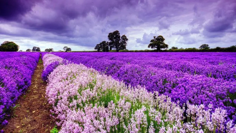
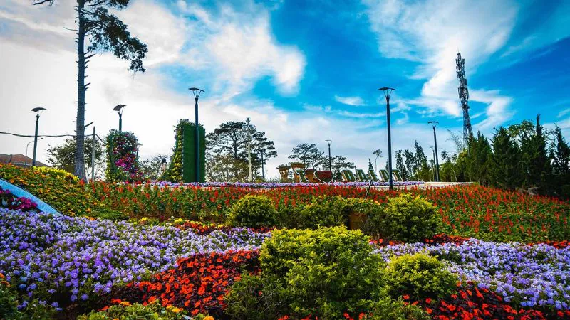
Da Lat is known for cultivated flowers and garden attractions, but a citywide “flower season” cannot be guaranteed to peak on a particular date. Cultivated displays vary by facility and maintenance cycle; wildflower timing depends on weather and location. For yellow wild sunflowers, late-year flowering is described by Vietnam Tourism as a sign of late autumn and early winter, but travelers should confirm local bloom reports before booking a trip specifically for that sight. For persimmon harvest experiences, official Vietnam Tourism content discusses late October–November; venue access and harvest dates may differ. No verified official 2027 Da Lat Flower Festival dates were available in the sources checked for this guide. Confirm an organizer announcement before booking a trip around a festival.
For misty scenery and photography: accept uncertainty
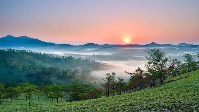
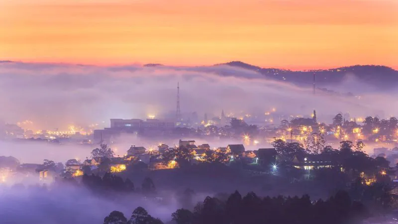
A foggy sunrise may look cinematic, but mist can obscure views and create driving hazards. Sunrise “cloud-hunting” depends on conditions that morning; treat it as a possible bonus, not a guaranteed highlight. Check the actual forecast, visibility and access rules. Use a nearby café or garden as a fallback if viewpoints are closed or clouded over.
For lush hills and waterfalls: May–August, with safety limits
More rain can mean greener landscapes and higher stream flows, but waterfall flow is not a permission to approach a dangerous edge, cross a stream or canyon without trained supervision. During heavy rain, exposed steps, forest trails and canyon routes may become hazardous. For canyoning or similar activities, book only with a qualified operator that has a clear weather-cancellation policy.
For self-drive and motorbike routes: dry weather does not eliminate fog
Highland passes and steep roads warrant attention in every season. Heavy rain reduces traction and can affect visibility; prolonged rainfall also raises landslide concerns on vulnerable slopes. Lam Dong police have warned about rain-triggered instability in hill and retaining-wall areas. Check official local traffic advisories before departures, particularly after prolonged rain. If a road is flooded or a slope looks unstable, turn back. Daylight, conservative speeds and a viable alternative transfer matter more than arriving on schedule.
Where you stay changes your weather resilience
Central Da Lat: useful for restaurants, cafés and backup indoor activities when it rains; assess walking distance and steep streets rather than relying on straight-line map distance. Compare six areas to stay in Da Lat before choosing a hotel.
Outlying hillside lodges and farm stays: can suit a scenery-led trip, but access roads, night driving, exposed terraces and transfer times matter more when visibility is poor or storms are forecast.
Near gardens, valleys or outdoor attractions: book based on your primary experience, and confirm operating schedules and current access conditions. An appealing location on a map may still be inconvenient without a vehicle.
Rather than claiming one neighborhood is always best, match the accommodation to your rain tolerance, evening transport needs and likelihood of changing plans.
2027 dates and crowd planning
Tet 2027: Public-sector holiday arrangements have been reported for 4–10 February 2027. Travel demand may rise around that period, but individual hotel, attraction and restaurant schedules are not governed by one universal timetable. Verify live availability and cancellation policies when booking.
Vietnam National Day 2027: Public-sector leave is scheduled for 2–5 September 2027. September is also wet in the Da Lat station record. If booking a long weekend, avoid a rigid hiking-only plan.
Vietnam Culture Day: 24 November has been established as a public-sector day off since 2026. Confirm the specific 2027 implementation and likely local demand near the date.
Flower festivals and local events: We could not verify an official calendar for a 2027 Da Lat Flower Festival from the sources checked; confirm event dates on official organizer channels before booking. Accommodation pricing and traffic conditions are inherently dynamic.
A flexible three-day itinerary
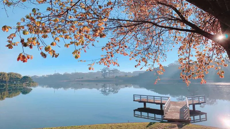
Day 1: City and lake. Arrive, settle in, explore central streets, food and cafés. In rain, move to indoor attractions; don’t promise a particular view or walking route will stay open.
Day 2: Garden or countryside day. Use a clear morning for a verified open garden, farm experience or scenic viewpoint. If heavy rain or poor visibility develops, cancel exposed mountain activities rather than forcing the itinerary.
Day 3: Slow morning and onward transfer. Leave a realistic buffer for highland-road travel and weather-related delays. Confirm the road and the actual departure point for onward transport.
Read our larger seasonal guide: Best Time to Visit Vietnam (2027). For transport decisions see How to Get Around Vietnam. Combining Da Lat with the coast? Compare the beach season in Nha Trang & Cam Ranh (2027). For another highland itinerary, see Best Time to Visit Sapa (2027).
Frequently asked questions
What is the best month to visit Da Lat in 2027?
There is no universal best month. January–February have the lowest rainfall and rainy-day averages in the QCVN station data; December–March is our recommended core season for a first outdoor-focused trip. Select based on your activity and holiday dates.
Is April a dry month in Da Lat?
It is a transition month. QCVN station figures give 170.3 mm of rain and 12.8 rainy days in April, compared with 64.1 mm and 5.8 rainy days in March. Don’t assume the two months offer identical conditions.
Does it rain all day in Da Lat in July?
Not necessarily. QCVN station data list 23.8 rainy days on average in July, but a day with rain is not equivalent to continuous rain all day. Check a short-range forecast and preserve flexibility.
Is September or October a bad time to visit Da Lat?
Neither month makes a visit impossible, but both are high-rain months in the QCVN station data. They are less suitable for travelers depending on multi-day hiking, remote road access or fully outdoor programs.
When are the flowers in Da Lat?
It depends on the species, garden and weather. Cultivated flowers can be visited throughout the year at some venues; check specific displays. Wild sunflowers and persimmon experiences are often associated with late-year periods, not guaranteed 2027 dates.
Is Da Lat cold in December and January?
Yes, especially in the early morning and evening. QCVN records 16.4°C as the average December temperature at the Da Lat station. This is not an overnight minimum: bring a warm layer and check the forecast for your accommodation.
Should I plan waterfalls in the rainy season?
You can plan to assess them, not to visit them regardless of conditions. Check site access, weather warnings, slippery paths and the operator’s safety guidance; avoid swimming or approaching dangerous water.
Do I need to worry about landslides?
On vulnerable steep slopes and mountain roads, prolonged heavy rain can raise risk. Follow official warnings and choose alternative routes or postponement when necessary.
RoamDecide verdict
For first-timers: December–March. For the driest station averages: January–February. For green scenery and flexible slow travel: May–August. For September–October: make weather and road conditions part of your booking decision, not a last-minute surprise. April and November are transition months, so decide based on which experiences matter most rather than an arbitrary seasonal label.
Evidence, methodology and limitations
Research checked: 13 October 2026. This is desk research, not a firsthand review or a forecast for 2027. The monthly table reproduces station 134. Da Lat from QCVN 02:2022/BXD (Tables A.2, A.25, A.28). The independently published annual values in the same tables differ from a simple sum of monthly entries; this is disclosed above. Source series may reflect different weather observation periods and should not be merged without a matching methodology. Separately, the national tourism authority gives approximately 17.8°C as the annual mean, about 15.7°C in December and 19.1°C in April, while the QCVN station series gives 18.0°C annually, 16.4°C in December and a May peak of 19.5°C. We present them as distinct series rather than implying they use identical observation periods.
Primary sources:
1. QCVN 02:2022/BXD, official government PDF, Tables A.2, A.25 and A.28; official legal record; secondary PDF mirror. 2. Vietnam National Authority of Tourism: Da Lat Climate, seasons, altitude and separate temperature/rainfall descriptions. 3. Vietnam Tourism: Weather and Climate in Vietnam, wider national season context. 4. Vietnam Tourism: Da Lat, Four Seasons in a Day, destination context. 5. Lam Dong Police: slope and landslide precautions, localized safety advice. 6. Vietnam Tourism: Persimmon gardens, late-October/November seasonality.
Travelers should confirm: current weather and slope warnings, access to individual gardens/trails, transport schedules, hotel cancellation terms and any announced 2027 festival dates. Any affiliate partnership, if later added, must be disclosed independently of these seasonal recommendations.